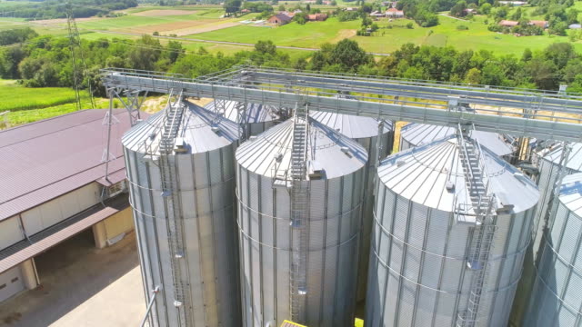
Asset Inspection
High Resolution sensors record visual and thermal images that allow for detailed inspection of assets. Using drone based aerial imagery a detailed insight of your assets is now possible that would, otherwise not be possible from a ground based perspective alone.
Land Survey
Combining Geo-Referenced images and software, we are able to produce 2D maps that provide you with a survey-grade overview of your land. This allows for the annotation and measurement tools that can be used in your areas of interest for further analysis and planning.
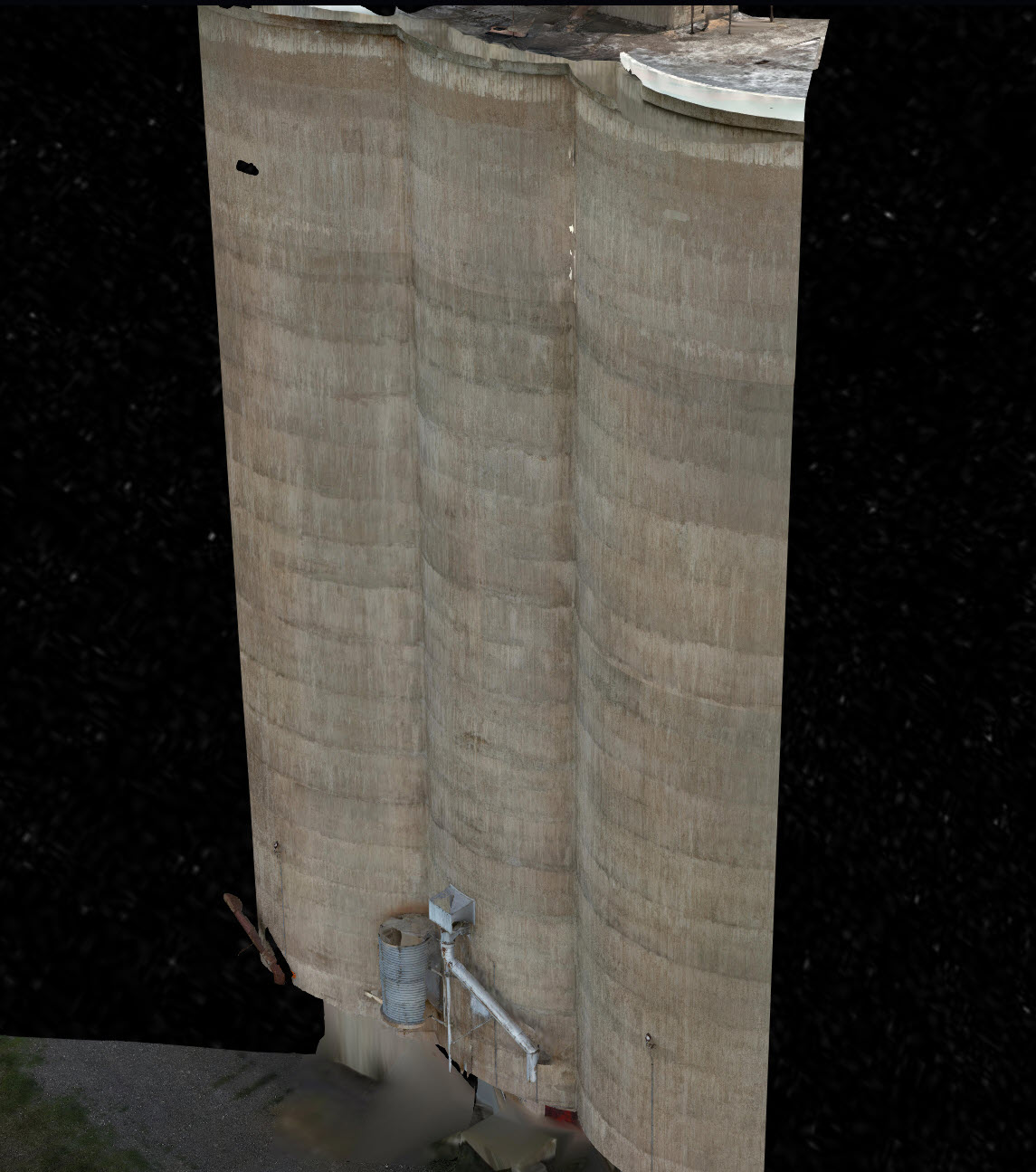
3D Model
We can develop a 3D model of your asset and use Digital Twin workflow to view, manage and maintain assets in the field efficiently and safely. We can provide image data sets to be used with your in-house inspection software or provide access to our asset inspection software.
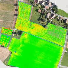
Crop Analysis
Multispectral camera remote sensing imaging technology using Green, Red, Red-Edge, and Near-Infrared wavebands to capture both visible and invisible images of crops and vegetation. The images integrate with specialised agriculture software which outputs the information into meaningful data.